
Tag: open source
-
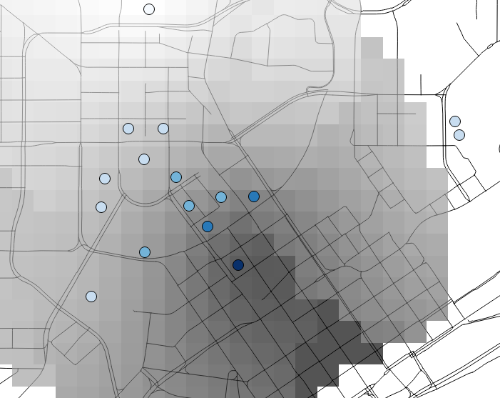
Analyzing Pedestrian Accessibility Using QGIS and OpenStreetMaps Data
Current transportation planning practices are shifting toward a focus on accessibility – the ease in which a person can reach destinations given the available transportation network – for all modes of transportation including walking, bicycling, and using public transit. This article will explain different methods of measuring accessibility and how to adapt those methods for…