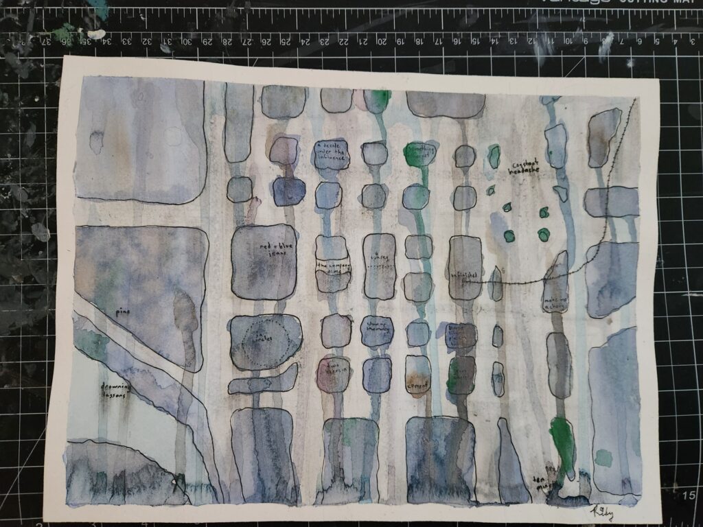
Inspired by Bob Ross and the urban sketching movement, I started painting during the pandemic. Somehow, it took me five years to realize I could paint maps too! I’d been experimenting with data from the State of Washington’s Geospatial Open Data Portal, trying to build a 3D map of Seattle’s ferry network in Blender. After one too many nights staring at screens, I decided to draw a Washington State Ferries map by hand instead.
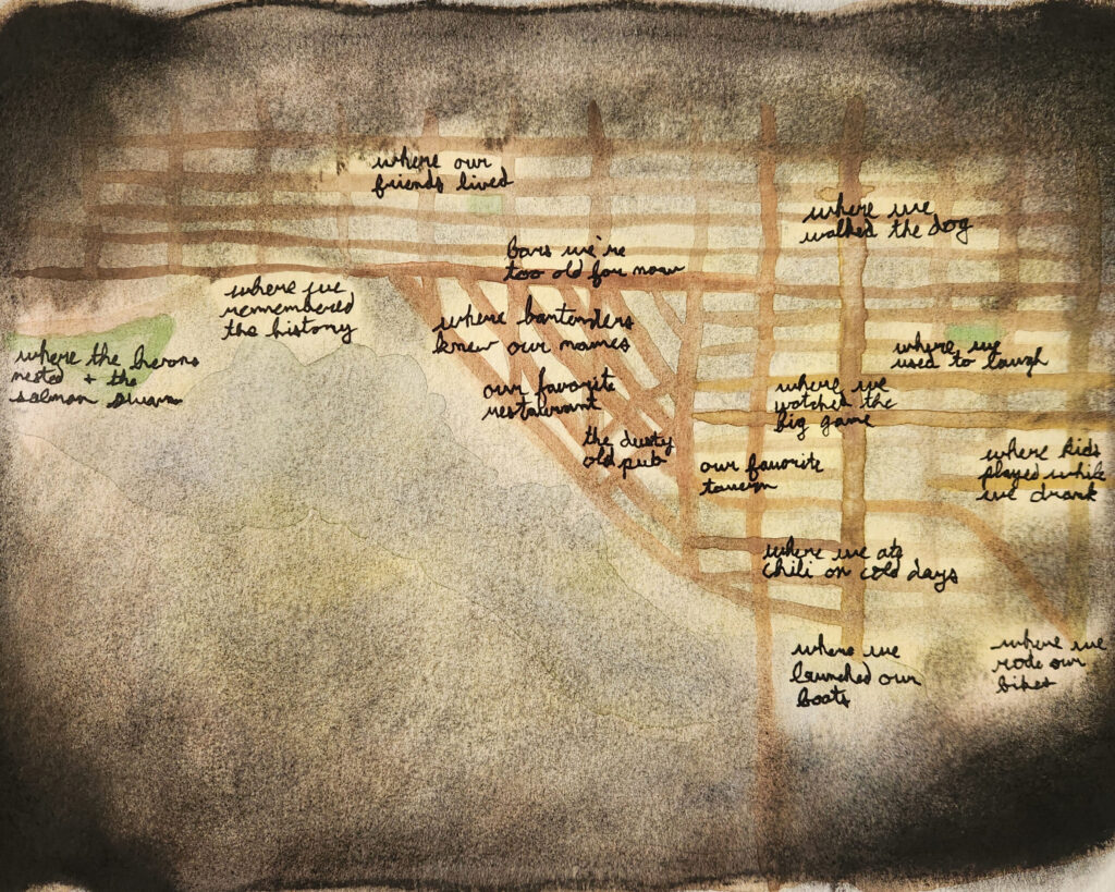
This was the first hand-drawn map I began, though not the first I finished. It sat on my counter for ages with only the ferry routes and coastlines inked in, waiting for the right colors. One day I accidentally splashed paint on it while working on another project and loved the effect. Later, after a rainy-day visit to the Seattle Ferry Terminal (see the Instagram reel below), I found the moody greens and blues that captured the Pacific Northwest perfectly. The trees and city symbols were inspired by a 1940s cartography textbook I checked out at the library (Seattle Public Library has an excellent selection of maps and cartography books), which taught me the methods of mapmaking before computers.